New service
RTK surveying
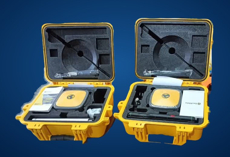
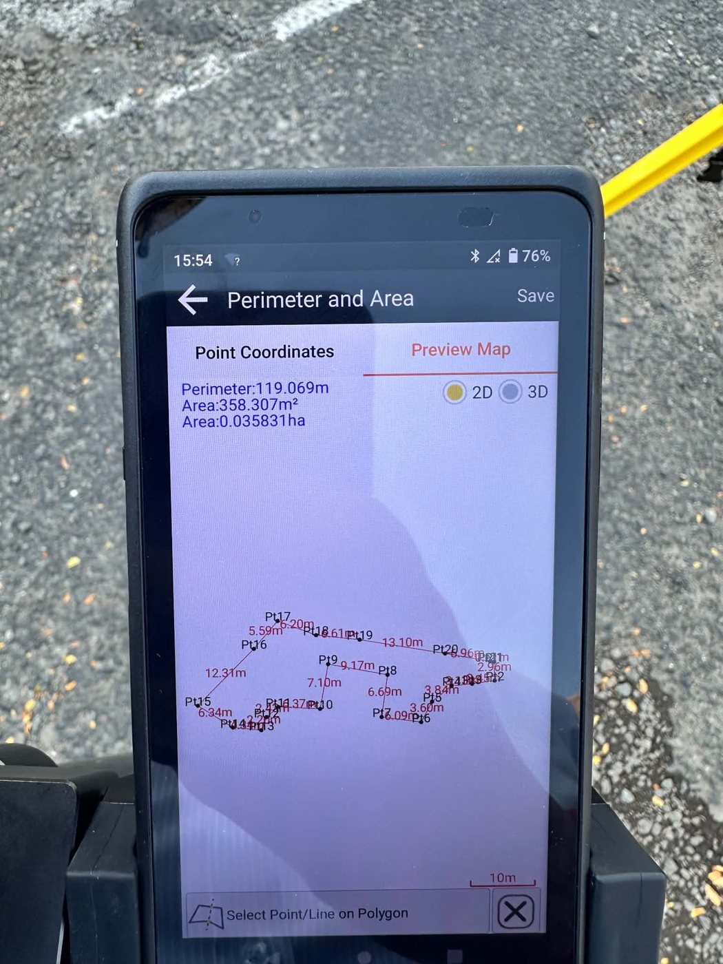
Our own RTK GNSS equipment (base, rover and field controller) gives centimetre-level positions in real time, so site data is fast, accurate and ready for design, pricing and set-out. We survey for our own projects and for other engineers, developers and contractors.
- Topographic & detail surveysLevels and features for design and drainage
- Construction set-outRoads, lots, pipelines and structures pegged on site
- As-built surveysRecord what was built for handover and claims
- Earthworks volumesCut and fill quantities for estimates and progress claims